31May 2019
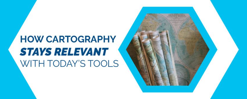
What is Cartography? You may have heard of cartography, but didn’t know it because we don’t often talk about it by name. Cartography is the creation and study of maps. It is as old as the creation of maps itself. You may have seen the benefits of a cartographer’s touch if you work in the earth sciences industry. Surveying, photogrammetry, and remote sensing positions all use forms of cartography. That means they also use cartography tools such as large-format specialized scanning and all the processes that come with it. Cartographers rely on an electronic document management system (EDMS) to organize their work and turn it into digestible formats for fellow professionals who need to access its information.
But how relevant is cartography, especially as we move into a new era of specialized scanning and paperless offices? Where does large format scanning still fit in as we move more towards the reduce and reuse components of recycling materials?
This is where specialized document management and document scanning come in. Cartography may retain its footing in the larger industry, but in order to determine how, we first need to take a look at why cartographers need document management systems.
The Art of Managing Maps with these Cartography Tools
How do large format documents get scanned into a document management system?
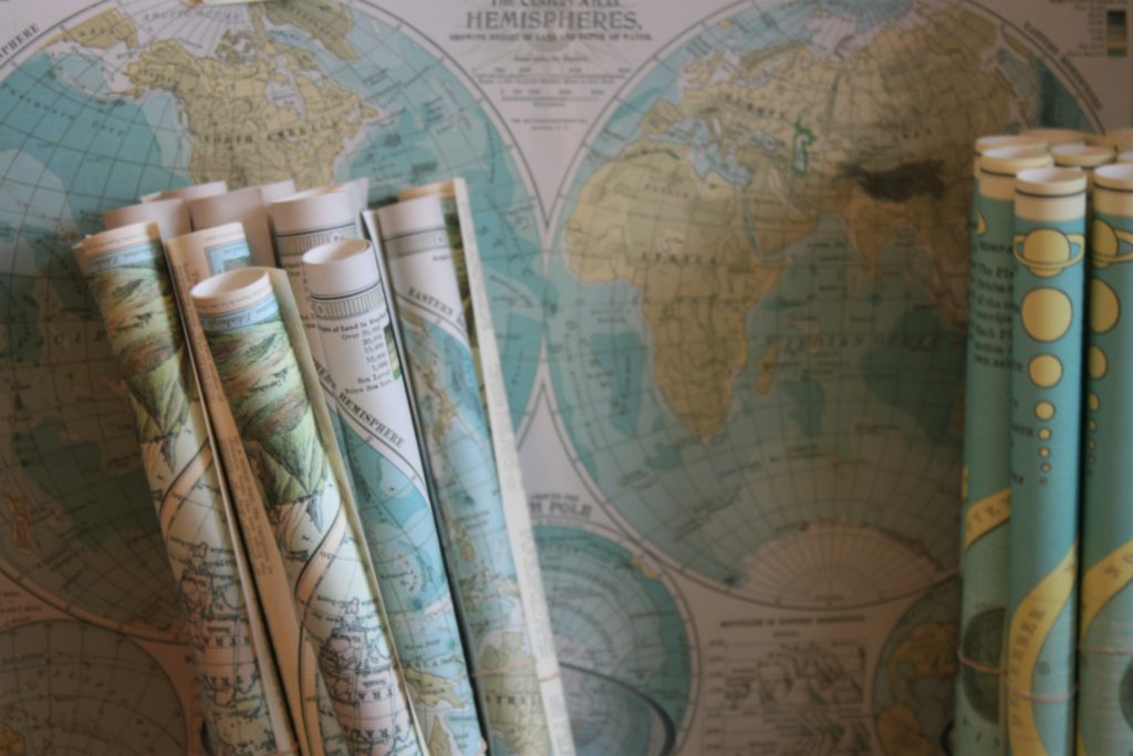
Remember that for a document to be considered large format, it must be more than 11” x 17”. A good document management system will use high-quality scanners to scan the materials using the latest image enhancement technology. What does that mean for cartographers or those who work in the earth sciences? That means you can retain quality in any format with digital cartography tools.
Because of the unpredictability and demands of the job, some cartographers may find themselves needing documents in black and white, greyscale, or colour. Some may even need the image quality to be 300 dpi, 400 dpi, or 600 dpi. This isn’t a problem for a solid document scanner. In fact, this flexibility is key for managing maps and other large format documents.
Why Large Format Scanning Works
Never considered large format scanning before? Here are the top 3 reasons why it works for cartographers and other professionals, and why it can work for you too:
- It’s portable
Ever tried to courier someone a load of maps or documents they need by a certain time? It can get pricey, and most of the time, you’re at the mercy of the courier’s schedule. With a good document management system, you don’t have to rely on physical documents to be in front of you at all times. Get a flash drive or encrypted login for your files and view them on the go.
- It saves time
Gone are the days where you’ll have to gather everyone into a room to view the same documents. Now, get feedback on your work simultaneously as approved access members view it on their own time. Take back your day from meetings to go over one or two documents. Invest time in a document management system that will increase productivity by saving you time.
- It gives more access
Using a document management system to upload, scan, and manage your large format documents means more people can get access to your documents when they need them. No one has to be in the same physical location to access these documents. But don’t forget: a solid system will make sure the files are encrypted, so only those who need access will get it.
As we move away from antique Cartography tools as they become obsolete. We rely on modern document management systems to continue with creation & study of maps with digital cartography tools. Docudavit provides a full EDMS system which facilitates the continuation of these old disciplines. Contact us for more information.